Chandigarh September 21, 2018
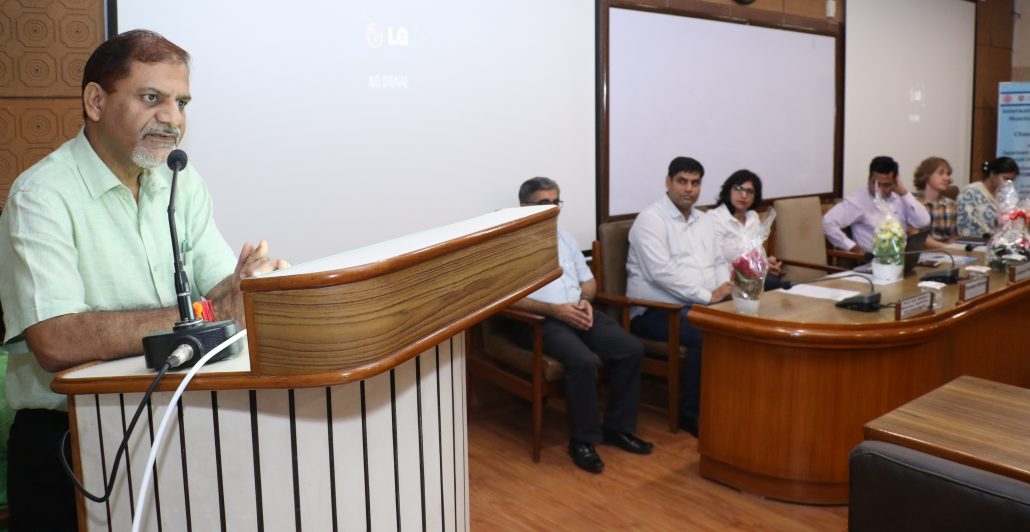
International workshop on “Monitoring Agriculture and Climate from Space” was jointly organised by Department of Environment Studies,Panjab University and School of Public Health, PGIMER, Chandigarh in collaboration with University of Leicester, United Kingdom.
Professor Raj Kumar, Vice Chancellor, Panjab University and Chief Guest of the event mentioned that UK-India collaboration will generate a pathway to develop future inter-disciplinary collaborative research. He stressed that such kind of platform provide all stakeholders an opportunity to collectively deliberate on issue of societal cause. He
emphasized to take the research to the ground level, so that benefit could reach to every section of the society.
Sh. Dharminder Sharma, IFS Chief Conservator, Department of Soil and Water Conservation, Punjab, was the guest of honour and mentioned that remote sensing and Geographical Information System techniques can be applied to effectively manage the natural resources and land use. He stresses to focus on precision farming in agricultural sector to preserve soil and water resources.
Dr Suman Mor, delivered a lecture on Monitoring Water Quality from space stated that satellite data is very useful for management of lakes and rivers water. She highlighted that recently pollution episode of river Beas by sugar mills in Punjab could be easily detected using remote sensing techniques.
Dr. Ravindra Khaiwal, School of Public Health, PGIMER Chandigarh delivered a lecture on the ‘Impact of Agriculture Fires on Air Quality‘. He highlighted that remote sensing technology offers cost effective solution to better understand the linkage between the air pollution and human health. He further highlighted that satellite data is being used to control the burning of crop residues of paddy in agricultural fields of Punjab and Haryana.
Dr.Harjinder Sembhi from University of Leicester, UK, highlighted that remote sensing data is very useful to understand temporal and spatial variation of crop waters uses and offers potential for drought monitoring and management. She stated that radiometer data will help to understand how change in atmospheric and land parameters affect crop conditions and yields. This will help farmers and policy makers to enhance crop production in changing climate.
Dr. Darren Ghent, University of Leicester, UK, mentioned that land surface temperature is good indicator of energy balance at the earth surface. Hence University of Leicester with Panjab University and PGIMER is installing a radiometer at Fatehgarh Sahib to monitor impact of climate change. This radiometer will be used to generate novel new datasets on heat stress, climate variability, water availability and irrigation scheduling.
Over 30 participants form various institutions of north India were trained to utilize large scale satellite data sets to manage environmental resources and further provided hands-on training.
Sh. Surinder Paul, Director, Indian Metrological Department chaired the valedictory session.
This training workshop was aimed to provide Scientiests, Researchers, Ph.D. scholars an overview in Earth Observation applications for a better understanding of Earth’s landscape and climate. The training course was delivered by UK and Indian experts including Dr. Harjinder Sembhi and Dr. Darren Ghent from University of Leicester, Dr. Ravindra Khaiwal from PGI, and Dr. Suman Mor from Panjab University.


